Description
AG1000 GNSS Land Leveling
SystemEfficient Agricultural Tools
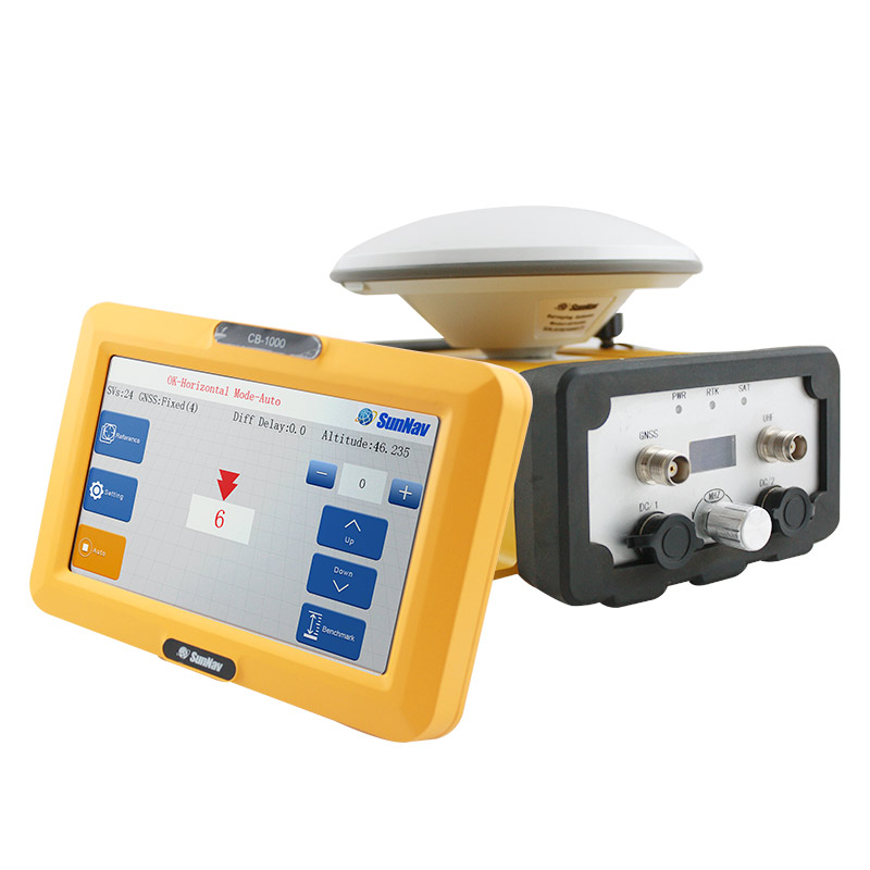
AG1000 GNSS Land Leveling System
■ 10’’ touch screen display, to show the realtime height difference clearly;
■ Easy operation, supports both horizontal and slope modes;
■ Could display real time height difference and equipment status information;
■ Integrate surveying function;
■ Could adjust the leveling accuracy;
■ Adjustable screen backlight;
■ Adjustable radio frequency, from 410MHZ to 470MHZ,avoid the signal interference;
■ Adjustable electromagnetic valve reaction sensitivity
Parts
Satellite Antenna
Base
GNSS Controller
CB-1000
Receiver
Radio Antenna
System Configuration
AG1000 is very simple to set up, and the base station effectively transmits a radius of 10km under the external station.
Complete
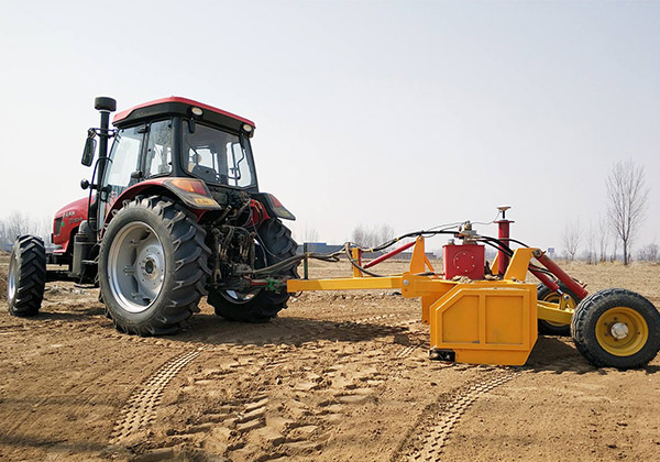
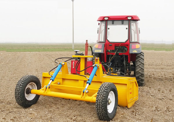
Strong compatibility, AG1000 can be used in most tractors.
Application Field
It could be widely used for precision agriculture field : waste land reclamation, land leveling, slopping land to terrace, water land leveling , as well as large area hydraulic engineering , air portcon struction and sports ground construction.
PRECISION AGRICULTURE
waste land reclamation, land leveling, slopping land to terrace, water land leveling
HYDRAULIC ENGINEERING
It can be used for dam construction, river leveling, slope control.
AIR PORTCON STRUCTION
It can be used to build airfields and airstrips to level the foundation.
SPORTS GROUND CONSTRUCTION
It can be used for foundation leveling of football and sports fields.
CONTACT US
Welcome to establish communication with us!
OUR OFFICE
SunNav Technology Co.,Ltd.
Add:Floor 4,Door 1,No.9 Haitai Huake 3rd Road Huayuan Industrial District Binhai High-tech Zone Tianjin,China
Fax:+86-22-87938615
Telephone: +86 18920490670
Email:[email protected]